Comstock Project
Strategic Location In A Proven Mining District
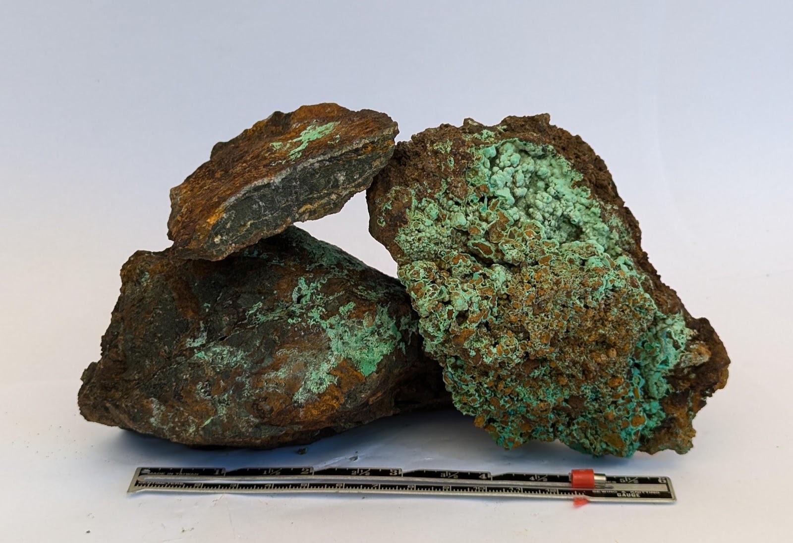
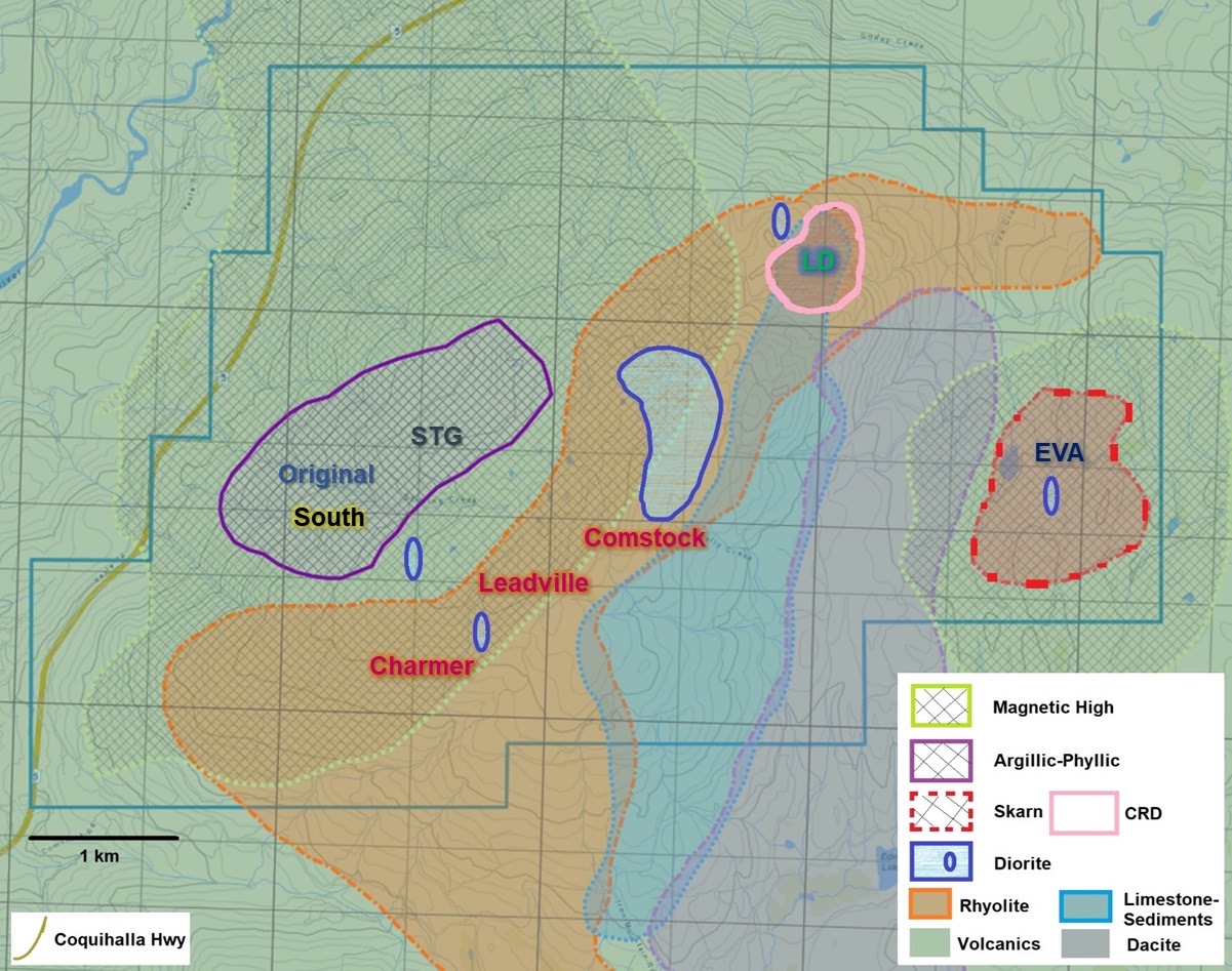
Recently identified a ~8 km x 3 km mineralized corridor that shares many geological and geophysical similarities with neighboring copper-gold porphyry and epithermal-gold systems within the Quesnel Terrane of British Columbia.
- Located within the established Quesnel Terrane, British Columbia's most productive copper-producing belt
- Active mining & discovery district with nearby milling infrastructure
- First-time consolidation and comprehensive, modern exploration of 33 highly-mineralized historic showings
Access & neighbours
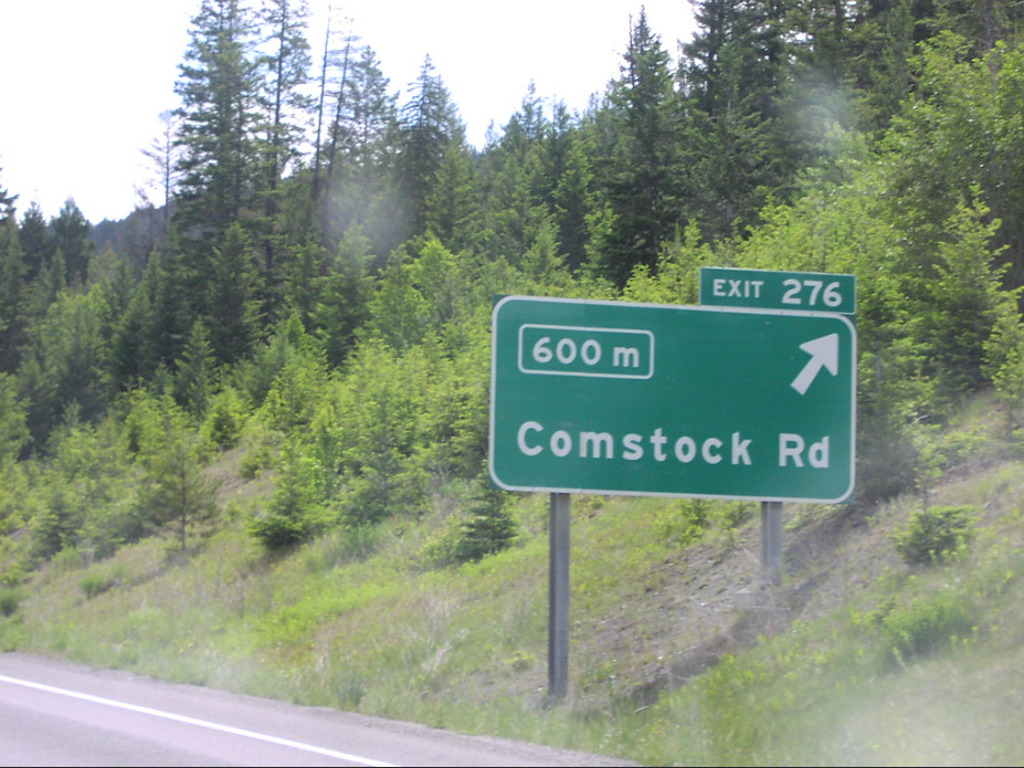
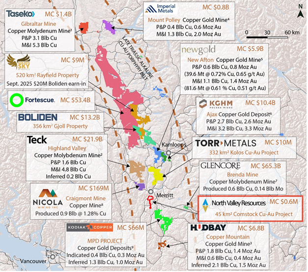
The Comstock Gold-Copper property is located adjacent to the Coquihalla highway, 10 kms south of Merritt, B.C. Nearby mines include Teck Resources' Highland Valley Copper Mine, Hudbay Minerals' Copper Mountain Mine, and New Gold's New Afton Mine. Recent discoveries in proximity to the Comstock property include Kodiak Copper's MPD Property (approx. 15 kms to the southeast) and Westhaven Gold's Shovelnose Property (approx. 13 km to the south) [1].
[1] Mineralization present on adjacent properties is not necessarily representative within the Comstock Property.
Comstock geology overview
4,462 ha
The property lies within the Western Belt of the Nicola Volcanic Group at the south-western extent of the Quesnel Terrane and East-Central extent of the Spences Bridge Gold Belt.
The property sits near several prominent epithermal and porphyry deposits within the Nicola Group including Highland Valley Copper Mine, New Craigmont Mine, New Afton Mine, and the Copper Mountain Mine.
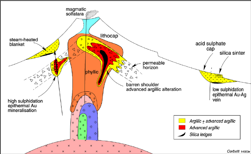
The geological setting of the Comstock Property allows for the potential of both volcanogenic massive sulphide deposits from the period of the Nicola arc emergence as well epithermal and porphyry deposit potential from its geographic location to intrusive bodies related to known porphyry-type mineral deposits.
Comstock historic exploration
Exploration milestones & timeline
- 1880s
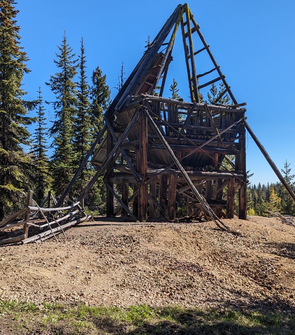
Copper and Gold mineralization was first discovered at the Victoria, Island, Charmer
- 1927
Small-scale production begins at Leadville Shaft (Ag-Pb-Zn), VMS deposit theory introduced
- 1970–80
Extensive trenching across property, various claims holders chasing VMS theory
- 1980s
Original Diane Zone discovered. 1988-89 drill holes totaling 567 m, 60 m max depth, intercepting strong Copper & Gold. Copper prices collapsed, nearby Craigmont Mine closed. Original Diane project abandoned after 1989, despite strong shallow intercepts
- 1990–2000s
Disjointed claims ownership (Original, Leadville, LD claims groups), VMS theory continues
- 2011
Consolidation of Comstock begins, challenging VMS theory
- 2020–23
Final consolidation of 33 core historic showings, small IP surveys conducted
- 2023
First comprehensive airborne geophysics survey, identifying anomalies below Original Diane drilling
- 2024
Suspected zones of argillic, epithermal, intrusion-related identified (VMS debunked)
- 2025
Identified ~8 km x 3 km mineralized corridor